Navigation Skills For Kids Screen Free
What happens to your child’s sense of direction when the battery dies and the signal drops? Thirty years ago, we knew where North was by the moss on the trees and the position of the sun. Today, we’ve traded that internal radar for a glowing blue dot. When we give our kids a compass instead of a screen, we aren’t just teaching them to find a trail—we’re teaching them to find themselves in the world.
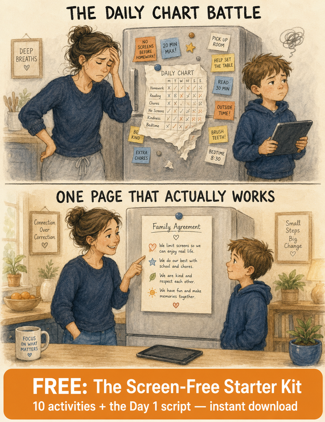
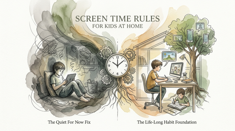
Learning to navigate without a smartphone is about more than just avoiding getting lost. It is a fundamental shift from being a passive passenger to an active observer. This process forces the brain to build a mental map, engaging the hippocampus in ways a GPS never could. We are moving away from the DIGITAL CRUTCH and toward an INTERNAL COMPASS that stays calibrated even when the satellites go dark.
Practical navigation is a “zero-fail” backup system for life. It builds confidence, sharpens spatial awareness, and fosters a deep connection with the natural world. If you want your child to feel capable in any environment, the journey starts with a paper map and a steady hand.
Navigation Skills For Kids Screen Free
Navigation skills for kids screen free involve the ability to determine location and direction using physical tools like maps and compasses, or natural indicators like the sun and stars. This is often referred to as orienteering or “land navigation.” Instead of following a voice-guided prompt, kids must interpret symbols, measure distances, and recognize landforms in the real world.
These skills are used in scouting, hiking, search and rescue, and competitive orienteering events. In a broader sense, they are used every time someone explores a new city or navigates a park without looking at a phone. The goal is to create a “birds-eye” view of the world within the mind, allowing a person to understand where they are in relation to everything else.
Analog navigation exists because technology is fragile. Signal interference in deep canyons, battery drainage in cold weather, and software glitches are common realities. By teaching children these methods, we provide them with a skill set that works in every corner of the globe, regardless of cellular towers or charging ports.
How It Works: The Mechanics of Finding Your Way
Teaching navigation involves three primary methods: map reading, compass work, and natural navigation. Each layer adds a new level of precision and confidence to a child’s repertoire.
The Map: A Language of Symbols
Maps are diagrammatic representations of the landscape. To a child, a map is a secret code that reveals hidden hills, streams, and paths. Start by teaching them the legend or “key.” This explains what the colors and lines mean—blue for water, green for forests, and brown for elevation.
Visualizing the “view from above” is the first cognitive hurdle. Have your child draw a map of their bedroom or backyard first. This helps them understand scale and perspective before they try to tackle a 1:24,000 topographic map.
The Compass: Taming the Magnetic Needle
A compass works by aligning a magnetized needle with the Earth’s magnetic field. For beginners, a baseplate compass is the best choice because it lies flat on a map. Kids need to learn the “Red in the Shed” rule: rotate the compass housing until the red magnetic needle sits inside the red orienting arrow (the “shed”).
Once “Fred is in his shed,” the direction-of-travel arrow points exactly where they need to go. This simple mechanical process teaches kids that physics is a reliable guide even when their intuition feels shaky.
Natural Navigation: Reading the Environment
Natural navigation uses cues from the sun, stars, and plants. The sun rises in the east and sets in the west, reaching its highest point in the south (in the Northern Hemisphere). A simple shadow stick—a stick placed in the ground—can show the direction of travel as the shadow moves over time.
Teach kids to look at the trees. In many regions, moss grows more thickly on the north side because it prefers the damp, shaded bark. While not 100% foolproof, these clues help kids verify their compass readings and stay aware of their surroundings.
Benefits of Analog Navigation for Children
Building navigation skills offers measurable advantages that extend far beyond the woods. It is a workout for the executive functions of the brain.
- Cognitive Development: Navigating requires constant problem-solving and planning. Research suggests that active navigation strengthens the hippocampus, the part of the brain responsible for memory and spatial orientation.
- Increased Confidence: There is a unique “hero moment” when a child realizes they found a checkpoint on their own. This builds a sense of self-reliance that carries over into school and social situations.
- Environmental Awareness: Screens tend to “tunnel” a child’s vision. Analog navigation forces them to look up, notice the shape of the hills, the direction of the wind, and the types of trees around them.
- Physical Fitness: Orienteering is often called the “thinking sport.” It combines the physical challenge of hiking or running with the mental challenge of staying on course, improving both stamina and focus.
Challenges and Common Mistakes
Most beginners struggle with the same few errors. Recognizing these early can prevent frustration and keep the learning process fun.
The 180-Degree Error: This is the most common mistake in land navigation. It happens when a child holds the compass backward, with the direction-of-travel arrow pointing toward their chest instead of their destination. This leads them exactly the opposite way they intended to go.
Moving the Bezel: Once a bearing is set on the compass, the rotating dial (the bezel) should not be touched. Kids often fiddle with the dial while walking, which “erases” their destination. Teach them to set it, lock it, and follow it.
Magnetic Interference: Compasses are sensitive to metal. If a child stands next to a car, a metal fence, or even holds a smartphone in their other hand, the needle will deviate. Always step away from large metal objects before taking a reading.
Information Overload: Handing a young child a complex topographic map with contour lines is a recipe for burnout. Start with simple park maps and gradually introduce more technical details as their interest grows.
Limitations of Screen-Free Navigation
While powerful, analog navigation has its constraints. It is important for practitioners to understand when these tools might struggle.
Visibility is the biggest hurdle. In dense fog or heavy rain, identifying landmarks becomes nearly impossible. Without a clear “sightline” to a distant tree or peak, a compass bearing is only as accurate as the person’s ability to walk in a perfectly straight line—which is harder than it sounds.
Magnetic declination is another factor. The North Pole on a map (True North) is not in the same spot as the Magnetic North Pole where the needle points. In some parts of the world, this difference is 20 degrees or more. For a casual backyard game, this doesn’t matter, but on a 10-mile trek, ignoring declination can lead a navigator miles off course.
Nighttime navigation requires a clear sky to see the stars. If it is a cloudy night and you don’t have a map or compass, natural navigation options are severely limited. Awareness of these boundaries makes a navigator safer and more prepared.
Digital Crutch vs. Internal Compass
Understanding the difference between these two approaches helps highlight why screen-free skills are so vital for development.
| Feature | Digital Crutch (GPS) | Internal Compass (Analog) |
|---|---|---|
| Mental Engagement | Low – Passive following of prompts. | High – Active mapping and observation. |
| Reliability | Dependent on battery and signal. | Always available in daylight or clear nights. |
| Skill Complexity | Easy – Minimal learning curve. | Moderate – Requires practice and patience. |
| Spatial Awareness | Limited – Focus is on the screen. | Broad – Focus is on the landscape. |
Practical Tips for Teaching Kids
Engagement is the key to success. If the lesson feels like a classroom lecture, kids will tune out. Keep it physical and high-energy.
- Play “Compassball”: Mark the cardinal directions (North, South, East, West) on a basketball court or field with cones. Call out a direction, and the child must run to that cone before they can take a shot or score a point.
- The Trail Swap: Have one group of kids create a path through a park using only compass bearings and step counts (e.g., “Walk 50 steps at 90 degrees, then 20 steps at 180 degrees”). Have another group try to follow the “code” to find a hidden prize.
- Thumbing the Map: Teach kids to keep their thumb on the map at their current location. As they walk, they move their thumb along the path. This prevents the “Where was I again?” moment that leads to getting lost.
- Orient the Map: Always start by turning the map so that North on the paper matches North in the real world. This makes the left on the map actually correspond to the left in reality, reducing mental strain.
Advanced Considerations for Serious Navigators
Once a child masters the basics, you can introduce more technical skills that professional navigators use to stay on track.
Pace Counting: This is the secret to measuring distance without a ruler. Have your child walk 100 meters and count every time their left foot hits the ground. This number is their “pace count.” In the woods, they can use this to know exactly how far they have traveled, which is crucial when looking for a specific trail junction.
Terrain Association: This is the “black belt” level of navigation. It involves looking at the contour lines on a map—the brown circles that show elevation—and matching them to the hills and valleys in front of you. A pro navigator can often find their way without even using a compass simply by “reading” the shapes of the earth.
Aiming Off: If you are looking for a bridge on a long river, don’t aim directly for it. Aim slightly to the left or right. That way, when you hit the river, you know exactly which way to turn to find the bridge. Aiming directly for a point often leaves you wondering if you missed it to the left or right.
Example Scenario: The Great Backyard Expedition
Imagine you are in a large local park with your child. Instead of pulling out your phone, you hand them a park map and a compass. You identify a large oak tree 200 yards away.
First, your child places the edge of the compass on the map, connecting “You Are Here” to the oak tree. They rotate the dial until the lines in the compass housing align with the North lines on the map. They read the number: 120 degrees.
They stand up, hold the compass flat, and rotate their entire body until the magnetic needle is “in the shed.” The direction arrow now points toward the oak tree. They start walking, counting their paces. Halfway there, they see a small creek that wasn’t visible from the start. They check the map, see the blue line, and confirm they are still on track. They reach the tree without a single digital prompt.
This simple exercise teaches them that they have the internal tools to decode the world. They aren’t just following a line; they are interacting with the terrain.
Final Thoughts
Teaching navigation skills for kids screen free is a gift of autonomy. It replaces the anxiety of a low battery with the quiet confidence of someone who knows how to read the sun and the stars. These skills don’t just protect them in the wilderness; they build a brain that is more observant, more analytical, and more resilient.
Start small. A compass in the backyard or a hand-drawn map of the neighborhood is all it takes to spark the curiosity of a young explorer. As they grow more comfortable, the world becomes less of a mystery and more of a map waiting to be read.
Encourage your children to lead the way on your next family hike. Let them make mistakes in a safe environment and figure out how to correct their course. By the time they are adults, they won’t just know where North is—they will know how to find their way through any challenge life throws their way.
Sources
1 youtube.com | 2 naturalnavigator.com | 3 battlbox.com | 4 battlbox.com | 5 wildwaybushcraft.co.uk | 6 time.com | 7 thesurvivaluniversity.com | 8 navigationgames.org | 9 aspenoutdoors.co.uk | 10 nwoutdoors.ca | 11 harveymaps.co.uk | 12 bbcearth.com | 13 kubrio.com | 14 ronwatters.com | 15 jointhewildlife.com | 16 gootf.com | 17 youtube.com